Catch Up on Saratoga Springs News, Exciting Business Announcements, and More
See What's New in Saratoga
Stay informed and up-to-date with what's happening in our vibrant region! We've rounded up some of the top Saratoga Springs news, including local business headlines, major event announcements, community updates, and more.
National Museum of Racing Announces 2024 Hall of Fame Class
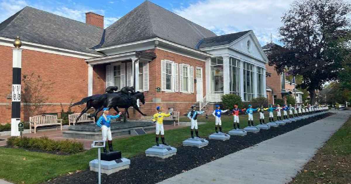
Nine new inductees have been announced for the 2024 National Museum of Racing and Hall of Fame class. They include jockey Joel Rosario, racehorses Gun Runner and Justify, as well as historic figures such as jockey Abe Hawkins and racehorse Aristides.
Additionally, industry influencers Harry F. Guggenheim, Clement L. Hirsch, and Joe Hirsch have been selected.
The induction ceremony is Friday, August 2, 2024, at 10:30 a.m. (doors open at 9 a.m.) at the Fasig-Tipton Sales Pavilion.
Explore more at https://www.racingmuseum.org/
OrangeTheory Opens Doors in Wilton
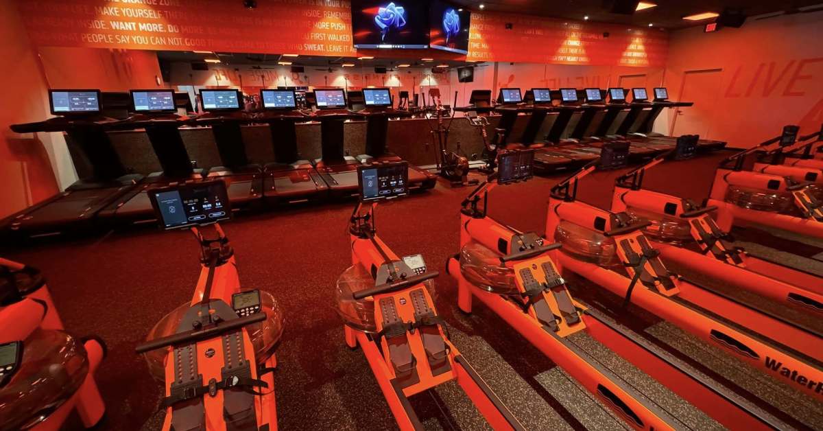
The popular fitness company, OrangeTheory, just opened up a new location at Wilton Mall. On March 8, the Saratoga County Chamber of Commerce celebrated with them during a ribbon cutting ceremony.
OrangeTheory will be offering some of the best and most effective workouts you can find at 3065 Route 50 in Saratoga Springs.
All intensity based workouts are reflected by your heart rate and achieving your own fitness goals. From weight loss, adding on muscle, or speed and endurance, OrangeTheory has objectives for everyone.
Call their Wilton location for a free workout and see why others love this gym.
Source: Saratoga Today
NYRA Confirms 2025 Belmont Stakes to Be Held at Saratoga
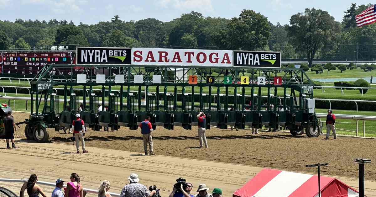
As a result of the ongoing construction work at Belmont Park, NYRA has confirmed that the 2025 Belmont Stakes will also be held at Saratoga Race Course.
The 2024 Belmont Stakes is currently scheduled for Saturday, June 8, at Saratoga. The full Belmont Stakes Racing Festival will run from June 6-9.
NYRA CEO David O'Rourke says, "The ability to leverage Saratoga during this period of reconstruction is invaluable for the continuity of the racing program."
This is an incredible opportunity for Saratoga which many horse racing enthusiasts are looking forward to.
Source: Paulick Report
Malta Drive-In Celebrating 75th Anniversary
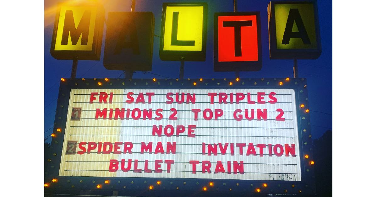
Founded by Sarto and Leona Smaldone on July 1, 1949, the Malta Drive-In celebrates its 75th anniversary season starting on Friday April 26th. The special Friday night event includes a double feature of "Godzilla x Kong: The New Empire" and "Ghostbusters Frozen Empire" on the main screen, and "Abigail" and "Monkey Man" on the secondary screen.
The box office opens at 6:30 p.m., showtime starts at 8 p.m. Enjoy throwback Thursdays throughout July and August, featuring nostalgic movies from the drive-in's history.