Saratoga Springs, NY Things to Do Guide: Attractions, Activities & More
Are you planning your next adventure in Saratoga Springs, NY? This guide brings together our top articles and features on things to do—from popular attractions and historic landmarks to outdoor activities and unique local experiences.
Check out everything there is to do and see in the Saratoga Springs area! Adventerous, relaxing, indoors, outdoors - we've got it all.
See our top picks for events this weekend in Saratoga! There is always something fun going on in the area.

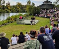
Make the most of each season in Saratoga with year-round fun - from springtime strolls in Congress Park to cozy winter getaways, summer nights at SPAC, and vibrant fall festivals.
ADVERTISEMENT
ADVERTISEMENT
ADVERTISEMENT
ADVERTISEMENT
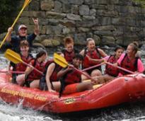
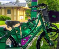
Explore hikes, walking tours, and more outdoor activities around Saratoga.
From parks to historical landmarks, embrace nature this season in the Saratoga area.

Indoor fun, outdoor adventures, entertainment for kids - discover a plethora of ways to have fun in Saratoga.

From world-class courses to local driving ranges, discover a golfer's paradise in the Saratoga Springs area.
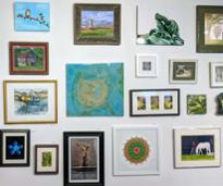
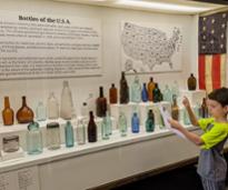
Saratoga has a thriving arts and culture scene! Check out art galleries, historic sites, performing arts venues, and more.
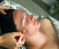
The Spa City is rife with beauty and wellness professionals! Check out spas, hair salons, tanning salons, and more.
SaratogaPhotographer.com
Plan a luxury trip to Saratoga and enjoy upscale dining, lodging, SPAC experiences, prime seating at the track, and more.
From the popular White Party in June to Travers Day at the Races in August, Saratoga Bridges has some fantastic fundraisers planned.
Browse our roundup of summer fairs in Saratoga County, nearby communities, and a few that are worth the drive.
Interested in some alcohol-free fun in Saratoga? From paint and sips to museums and music venues, discover top sober activities.
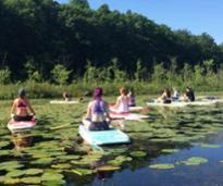
Try something new with these unqiue activities in Saratoga County, from SUP yoga to embarking on a tiki tour.
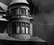
Discover something spooky in or near Saratoga with these haunted history and ghost tours!
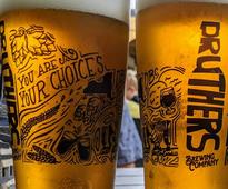
Curious about every single Saratoga County winery, brewery, and distillery? So were we.

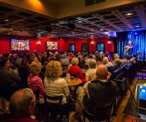
Enjoy the local music scene at these great venues in the Saratoga Springs area.
Head to Ballston Spa and Malta for cool shops, local history, and more.

From the track to galas, know what the dress codes mean with this helpful infographic.
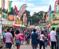
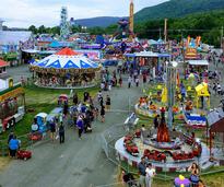
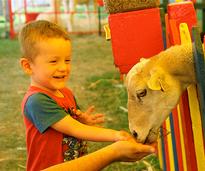
Make plans for the annual Saratoga County Fair in July, featuring a mix of new entertainment and beloved traditions.
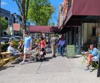
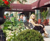
Discover what you'll find when you branch out from Saratoga's main street and go off Broadway.

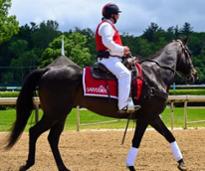
Want to purchase a thoroughbred race horse? Attend this year's Fasig-Tipton horse sales in Saratoga Springs.
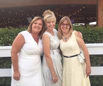
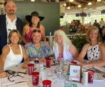
Spring is gala season in Saratoga Springs! Find galas to attend and brush up on tips and tricks for these events.
See a breakout of the top Saratoga events for kids by season - there is always something exciting going on!
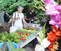
From dairy farms to distilleries to farmers markets, find everything food and drink in the Saratoga region.
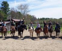
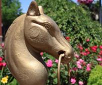
Are you interested in horseback riding and other horse-themed fun in Saratoga County? Here's where you should go!
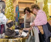
There are several unique boutique shops and stores close to Saratoga that offer remarkable gifts, one-of-a-kind items, and more.
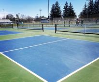
Pickleball continues to grow in popularity! Check out these places in Saratoga where you can play pickleball.

Find out where the locals go in Saratoga County for lesser-known restaurant gems and more.
Ready to get out of town this year? Add these road trip-worthy events to your list!
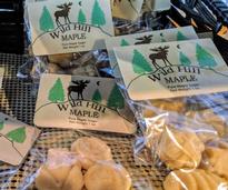
Plan a trip to maple producers near Saratoga and see what exciting events they offer during the NYS Maple Weekend.
ADVERTISEMENT